

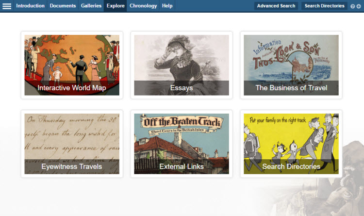
Interactive Map
The Interactive Map allows you to explore the documents contained within Leisure, Travel & Mass Culture: The History of Tourism geographically, narrowing your searches by region and country. You can select countries visually with the help of the animated globe.
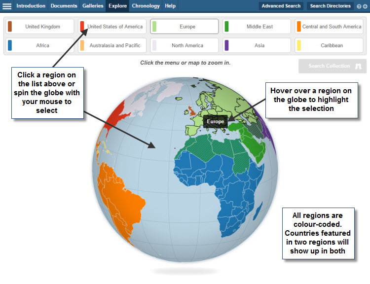
To explore the globe, use your mouse to drag and spin it and select the countries you are interested in. You can select multiple countries and regions at a time.
The results list will include all documents which have been indexed as containing significant content pertaining to the country or countries selected.
As the material in the collection dates from the 1800s to the modern day, we have recognised that some items will refer to geographic areas by former names and older boundaries. This has been taken into account and documents relating to old names and boundaries will be included in results for the modern geographical region.
Select a region on the list above the map or spin the globe with your mouse to select a region. Hover your mouse over a region on the glove to highlight the selection.
All regions are colour coded. Countries featured in two regions will show up in both.
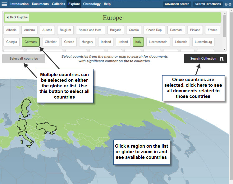
Within region view, multiple countries can be selected either from the globe or from the list above it. You may choose all countries with the "Select all countries" button. Once countries are selected, use the "Search Collection" button to see all documents related to those countries.
Next: My Archive
Previous: Promotional Tourism Films